
A Network of Skilled Pilots
At Heli-Tele, we believe that expertise on the ground directly enhances performance in the air. By fostering a network of skilled, certified pilots who specialise in operating across diverse terrains and conditions, we ensure every flight is conducted safely, efficiently, and to the highest industry standards.
From comprehensive pre-flight planning to meticulous post-flight analysis, our pilots combine technical knowledge with hands-on experience to deliver outstanding results. This dedication to professional development and quality assurance enables us to consistently provide exceptional accuracy, reliability, and value across all our survey solutions.
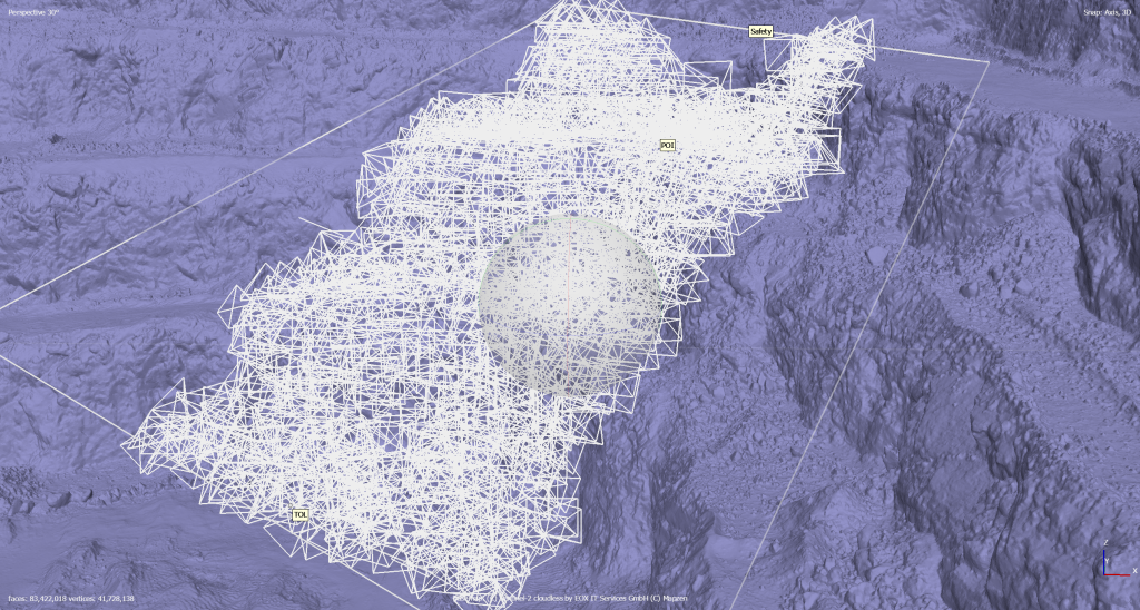
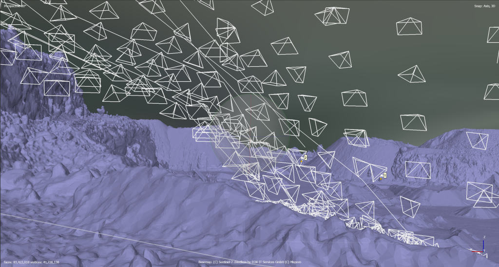
Standardised Collection Methods for Consistency and Accuracy
At Heli-Tele, we achieve consistency and accuracy in drone survey data collection through standardised methodologies that incorporate robust positioning techniques such as ground control, Real-Time Kinematic (RTK) corrections, and access to high-quality Global Navigation Satellite System (GNSS) networks.
By utilising carefully placed and precisely surveyed Ground Control Points (GCPs), we establish a dependable positional reference, allowing us to identify and correct any systemic errors in the imagery captured by our drones. When these GCPs are combined with our RTK-enabled equipment and a high-quality GNSS reference network, we significantly enhance the precision of our geospatial products, minimising both horizontal and vertical positional errors.
By integrating these technologies into our standardised survey protocols, Heli-Tele consistently delivers superior data quality, optimises workflows, and provides clients with the confidence they need to make informed decisions based on drone-derived geospatial information.
Full Planning
We carry out thorough pre-flight planning ensures standardised survey methods from the start.
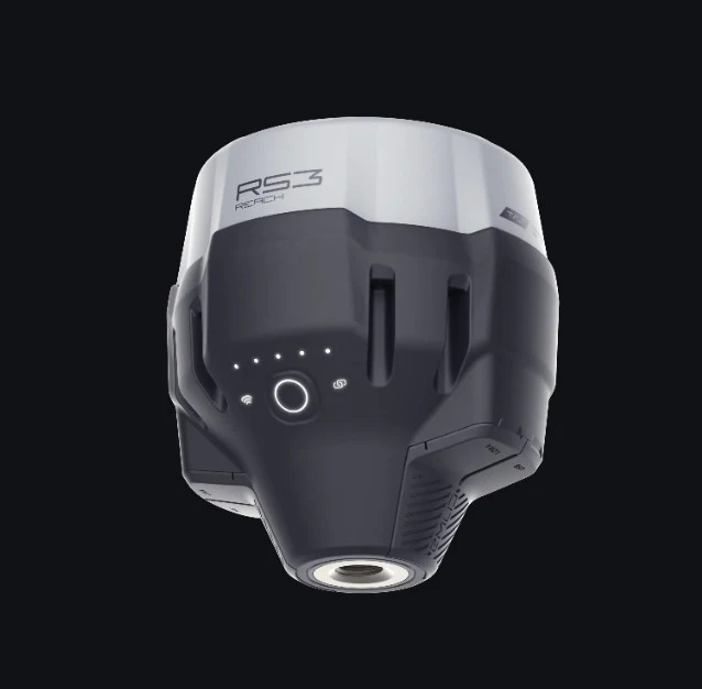
RTK Usage
We utilise RTK connections to achieve real-time positional accuracy, ensuring reliable results every time.
Ground Control
We use ground control points to anchor survey data, guaranteeing consistent and precise accuracy.
OS Partnership
Our partnership with Ordnance Survey reflects our authoritative approach and commitment to accuracy.
Latest Survey and Inspection Equipment
At Heli-Tele, we continually invest in cutting-edge survey and inspection technology. By utilising the latest UAV platforms, advanced sensors, and high-precision GNSS equipment, we optimise data quality and accuracy while reducing project timelines.
Whether undertaking detailed topographic mapping or intricate structural inspections, our state-of-the-art tools allow us to capture unmatched detail. This forward-thinking approach ensures we stay at the forefront of the industry, consistently providing exceptional insights that enable confident decision-making.